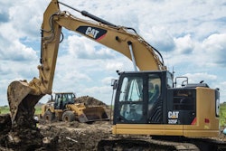
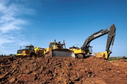
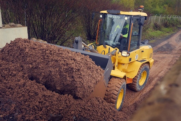
It’s a sight that in less than a few years’ time will be the norm. Cat expects drones like the Redbird quadcopter suspended by wires at its exhibit to become integral in providing owners, fleet managers and operators with more actionable data in the quest of reducing cost per ton.
In fact, the company is likely not long away from launching its own drone service through Cat dealers that will let customers tap into such data with drones of their own or through recurring visits from contracted drone pilots.
Caterpillar announced its partnership with Redbird, a French drone data analytics startup, earlier this year. At the time, the company provided few details about the collaboration other than saying it was interested in beginning tests in Europe (where drones fly freely due to a lack of regulations) to see how these aircraft could advance the company’s push over the past 18 months to provide customers with more and more data.

Melanie Venneker of Cat’s German dealer Zeppelin took me through the pitch she had given hundreds of others at the booth. Using the touchscreen, she pulled up an image of a drone and initiated a simulated flight path over a quarry. In just 20 minutes a Redbird quadcopter can map about 30 acres of quarry, providing more common data like material volumes, but also data more pertinent for fleet managers like road grades and widths.
Inside Redbird’s app for viewing this mapping data, Cardinal, users can view 2D and 3D maps that are as easy to read and navigate as Google Maps—and from a desktop or iPad.